Cue thoughtful music.
I needed something to help my homeschooling kids learn where each of the states are located on the map, particularly something that was hands-on and screen-free.
And when I called my mom (a previous 5th grade teacher) for ideas, she already had a fabric USA map ready for us to use!
Thus, the idea of the Felt USA puzzle map was born and you can DIY it too to help your kids & students learn their states and capitals- the perfect morning time geography lesson!
Supplies
- Fabric Glue
- Fabric Map of USA
- Fabric Scissors
- A large piece of felt that will fit behind your map (can be found at Joann’s)
- Permanent marker
Step 1:
Get your USA map and, using your fabric scissors, carefully cut around the border so you will remove the entire country from the background.
Step 2:
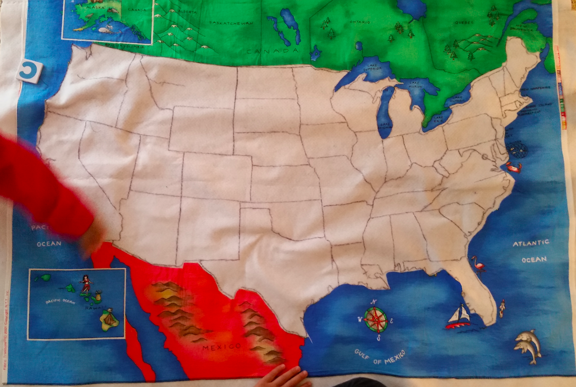
Using the fabric glue, glue the big piece of felt to the back of the map where the USA cutout is missing. You will want to overlap the fabric to make it sturdier.
Step 3:
Slowly cut out each of the states and, as you do, trace the remainder of the country on the felt. So, don’t trace each state you cut out because it could be slightly off, but fit the entire puzzle of the USA back into its spot and trace what is missing so it’s more accurate. (You’ll thank me when you get to the East Coast!)
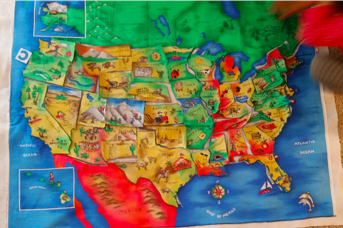
You did it! Your map is done!
Some ways to use it:
- Call out a state and have your student put it in the right place
- Cal out a capital and have your student find the state
- Have your child assemble the map according the regions (Southern states or Midwest states)
- Time how fast your child can assemble the USA puzzle!
Thanks for joining me on this crafty journey! For more homeschooling tips, please sign up for emails and get them delivered straight to your inbox!
